Imagine holding the entire world in your hands, every continent, country, and city at your fingertips. That’s the magic of a world map. It’s more than just a piece of paper or a digital image; it has the potential to be a gateway to understanding our planet, its geography, and the intricate connections between its many regions.
The Evolution of the World Map
 We dive deeper into the transformation of world maps, painted by the strokes of human knowledge and advancements in technology over the millennia. Below, we delve into the specifics of this ongoing journey, shedding light on historical maps and the balance between tradition and the changes brought about by the Age of Exploration.
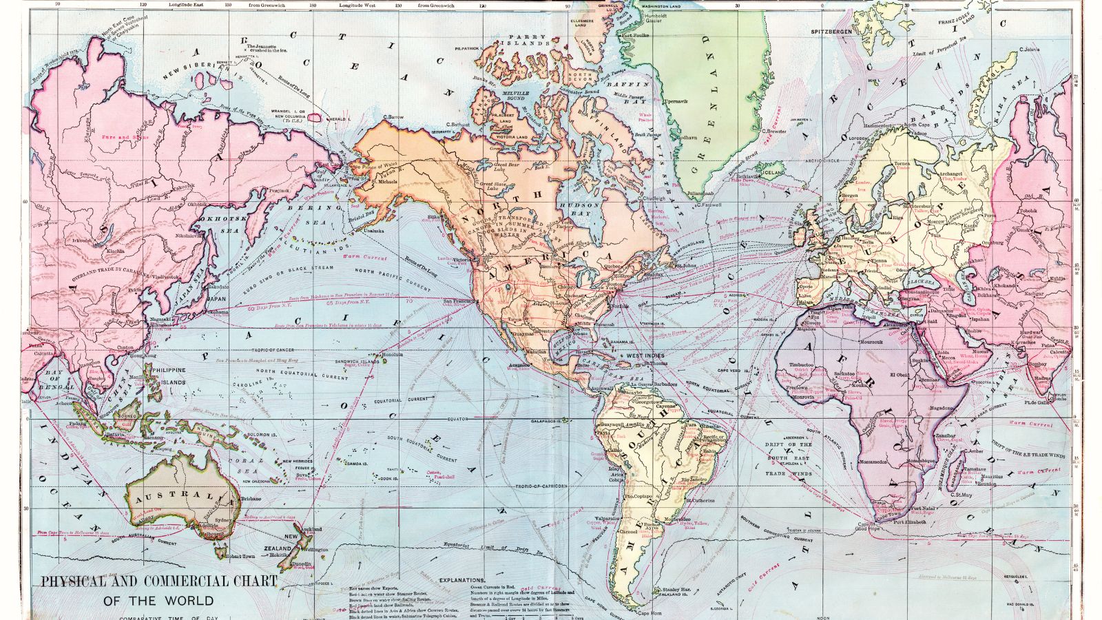
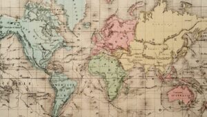
Ancient civilizations, such as the Sumerians, Egyptians, and Greeks, fashioned their own versions of world maps, each serving as a mirror to their civilization’s geographical understanding. For instance, Babylonians (derived from the larger cluster of Sumerians) developed a map in 600 B.C— the Imago Mundi—which, according to British Museum, is considered the oldest known world map. This simple yet effective map, etched on a clay tablet, symbolized the Earth as a flat disc surrounded by water.
In contrast, Anaximander, a pre-Socratic Greek philosopher, suggested the Earth was cylindrical—a first step toward our understanding of a spherical world. Greek geographer Ptolemy, too, played a significant role in shaping ancient world maps. His work, “Geographia,” compiled in 150 AD, used a system of longitude and latitude, showcasing a leap in precise cartography.
The Importance of World Maps
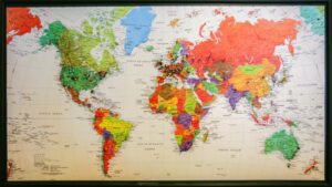
 World maps offer a tangible depiction of our planet, enhancing global comprehension and educational initiatives. For instance, UNESCO advocates for their use in schools, citing their capacity to illustrate geographic distributions, cultural diversities, and world demographics in a comprehensible manner.
They act as a tool, facilitating the understanding of concepts ranging from geopolitics to environmental studies. Equally, they lend themselves to the grasp of global events and phenomena, including climate change patterns or population migrations, offering a spatial context conducive to the broader understanding of such topics.
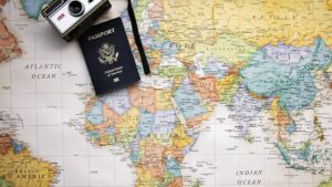
Aside from enriching education, world maps prove critical in navigation and travel. Dating back to the navigational feats of figures like Columbus and Magellan, maps have long guided explorers and travellers. In contemporary times, global positioning systems (GPS), drawing heavily on meticulously crafted digital maps, ensure safe and efficient navigation. For instance, airline pilots leverage geographic information system (GIS) technology to chart the optimal routes, navigating around political boundaries, weather patterns, and airspace restrictions.
Using World Maps in Modern Technology
World Maps and GIS
Geographic Information System (GIS) applies world maps to harness spatial data, giving a new dimension of understanding. GIS integrates different data sets onto world maps, making complex phenomena such as weather patterns or population migration comprehensible. Take, for instance, the use of GIS in disaster management. By overlaying seismic activity data onto a world map, GIS allows experts to accurately predict areas at risk for earthquakes. Similarly, disease epidemiologists map out outbreaks to chart the course of epidemics and formulate strategies for containment.
Digital World Maps and Applications
 Modern technology has revolutionized world maps, still. Digital world maps have become common companions, fueling a range of applications. Take GPS services, for example. They use digital world maps to provide real-time navigational assistance to users worldwide.
Google Earth, another application, offers three-dimensional views of any location on the globe, enabling everyone to virtually traverse the world from the comfort of their homes. In education, digital world maps enhance educational experience by making it interactive and engaging. Consider apps like World Atlas, they bring geographical, demographic and cultural information to fingertips, making learning a captivating journey. In essence, digital world maps take one round the world, literally and metaphorically, giving access to every corner of the earth.
Bridging Cultures
World maps, with their rich history and modern applications, have proven to be indispensable tools. They’ve bridged gaps in global understanding, facilitated efficient navigation, and revolutionized education. Through the lens of a world map, one can grasp the vastness of cultural diversities and the intricacies of global demographics.